![Dolomites Alta Via1 map [1]](https://gomagcdn.ro/domains3/ancientshades.com/files/product/original/tour-du-mont-blanc-high-resolution-hiking-relief-map-copie-837653.jpg "Dolomites Alta Via1 map [1]")
![Dolomites Alta Via1 map [2]](https://gomagcdn.ro/domains3/ancientshades.com/files/product/original/tour-du-mont-blanc-high-resolution-hiking-relief-map-copie-646189.jpg "Dolomites Alta Via1 map [2]")
Print only, frame not included.
Giclee print, pigment inks.
- Description
- Characteristics
This map documents the complete Alta Via 1 (AV1), the most famous long-distance trekking route in the Dolomites, running roughly 120 km from Lago di Braies in the north to Belluno in the south. It is built as a reference-grade planning tool as much as a piece of wall art — accurate enough to plan a real trek, detailed enough to frame.
Terrain rendering
The relief is a true 3D render, built in Blender from a 15-meter resolution digital elevation model (DEM) of the Dolomites. This gives the mountains real shadow direction, ridge structure, and depth — the peaks, cliff bands, and valleys read the way they would from the air, not as a stylized illustration. The full piece is produced at very high resolution, so fine terrain detail remains sharp even at large print sizes.
Route information
- The classic AV1 trail is marked in full, alongside the principal variant routes actually used by hikers, distinguished by line color
- Major summits and named passes (forcelle) are labeled along the entire corridor
- Mountain huts (rifugi), bivouacs, and campsites are marked at their real trail positions
- Protected natural parks and reserves crossed by the route are indicated, including Fanes-Sennes-Braies and Dolomiti d'Ampezzo
Stage-by-stage planning table
A dedicated panel breaks the trek into the classic 9-day itinerary, stage by stage, with:
- Distance in kilometers per stage
- Estimated hiking time
- Elevation gain and elevation loss
- An individual elevation profile chart per stage, showing the climb/descent shape of that day's hike
This makes it possible to compare stages at a glance — spot the longer or steeper days, and plan hut bookings accordingly.
♥ Printed on premium matte paper (230g/sqm);♥ All prints have an additional 0.25 inches (6 mm) white margin; for example, if you select the size 20 x 30 inches, the overall paper sheet will be 20.5 x 30.5 inches; this additional white margin goes beneath the frame, not visible; so, the necessary frame, in this case should have an opening of 20 x 30 inches;
♥ Pigment inks (Canon Lucia EX) which last a lifetime, no fading;
♥ Giclée fine reproduction, using one of the best fine art printers, Canon imagePROGRAF 4000;
♥ The minimum size available is determined by the readability of the text on the map.
► Shipping is done in a rigid tube;
► The frame is NOT included.
● For any other info please let me know and I will get back to you within 24h.
● On this site, www.AncientShades.com, you can find thematic and modern maps.
● Vintage maps reproductions are available here: www.etsy.com/shop/AncientShades
● On my Facebook page I post promotions and special products: https://www.facebook.com/AncientShades
● Please read the shop policies for important information.
♥ Thank you! ♥

Map Type: Detailed relief map
Recommendations

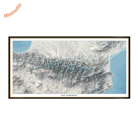
Pyrenees minimalist map, shaded relief map, highly detailed, impeccable precision, "cold" version
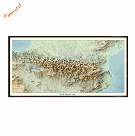
Pyrenees minimalist map, shaded relief map, highly detailed, impeccable precision, "warm" version