![Tour de Mont Blanc map [1]](https://gomagcdn.ro/domains3/ancientshades.com/files/product/original/frozen-alps-relief-map-cool-toned-topographical-wall-poster-copie-660568.jpg "Tour de Mont Blanc map [1]")
![Tour de Mont Blanc map [2]](https://gomagcdn.ro/domains3/ancientshades.com/files/product/original/frozen-alps-relief-map-cool-toned-topographical-wall-poster-copie-663963.jpg "Tour de Mont Blanc map [2]")
![Tour de Mont Blanc map [3]](https://gomagcdn.ro/domains3/ancientshades.com/files/product/original/frozen-alps-relief-map-cool-toned-topographical-wall-poster-copie-240254.jpg "Tour de Mont Blanc map [3]")
![Tour de Mont Blanc map [4]](https://gomagcdn.ro/domains3/ancientshades.com/files/product/original/frozen-alps-relief-map-cool-toned-topographical-wall-poster-copie-077802.jpg "Tour de Mont Blanc map [4]")
Print only, frame not included.
Giclee print, pigment inks.
- Description
- Characteristics
A detailed, high-resolution map of the Tour du Mont Blanc, created for hikers, trekkers and mountain enthusiasts who want a clear and visually accurate overview of one of the most spectacular long-distance trails in the Alps.
The terrain is based on a 17 m resolution Digital Elevation Model (DEM) and has been carefully rendered to reproduce the shape, scale and character of the Mont Blanc massif with a high level of precision. The result is a rich relief map where valleys, ridges, glaciers and major mountain features remain clearly visible without compromising the readability of the route.
The map shows the classic Tour du Mont Blanc route, together with a selection of alternative trails and variants, offering a broader view of the hiking possibilities around the massif. Labels have been carefully selected and positioned to keep the map easy to read, even at a high level of geographic detail.
In the lower-right corner, the classic TMB is presented as an 11-day itinerary, with stage-by-stage information including distance, estimated hiking time, elevation gain and elevation loss.
The upper-left inset adds a three-dimensional perspective of the Mont Blanc massif viewed from the northwest, with several of the major visible summits identified. Only key peaks are labelled in order to preserve a clean, uncluttered view of the mountain landscape.
Created as an original cartographic work, this map combines precise terrain modelling, detailed hiking routes and Alpine geography in a single large-format composition. It is designed both as a practical visual reference for Tour du Mont Blanc planning and as a map for anyone passionate about hiking, trekking, mountain trails and the European Alps.
♥ Printed on premium matte paper (230g/sqm);♥ All prints have an additional 0.25 inches (6 mm) white margin; for example, if you select the size 20 x 30 inches, the overall paper sheet will be 20.5 x 30.5 inches; this additional white margin goes beneath the frame, not visible; so, the necessary frame, in this case should have an opening of 20 x 30 inches;
♥ Pigment inks (Canon Lucia EX) which last a lifetime, no fading;
♥ Giclée fine reproduction, using one of the best fine art printers, Canon imagePROGRAF 4000;
♥ The minimum size available is determined by the readability of the text on the map.
► Shipping is done in a rigid tube;
► The frame is NOT included.
● For any other info please let me know and I will get back to you within 24h.
● On this site, www.AncientShades.com, you can find thematic and modern maps.
● Vintage maps reproductions are available here: www.etsy.com/shop/AncientShades
● On my Facebook page I post promotions and special products: https://www.facebook.com/AncientShades
● Please read the shop policies for important information.
♥ Thank you! ♥

Map Type: Detailed relief map
Recommendations

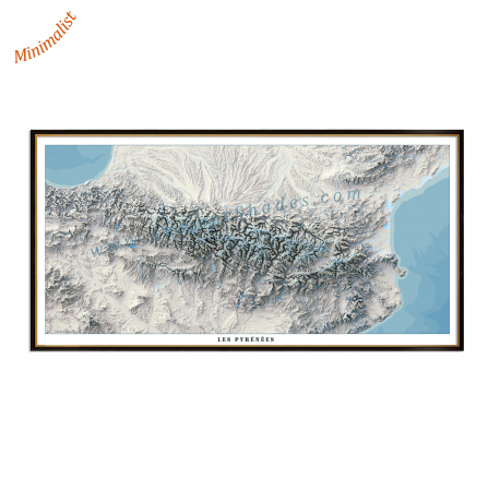
Pyrenees minimalist map, shaded relief map, highly detailed, impeccable precision, "cold" version
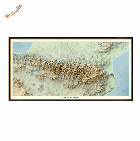
Pyrenees minimalist map, shaded relief map, highly detailed, impeccable precision, "warm" version