![Torres del Paine W trekking Map [1]](https://gomagcdn.ro/domains3/ancientshades.com/files/product/original/dolomites-alta-via-2-hiking-map-high-route-poster-copie-303041.jpg "Torres del Paine W trekking Map [1]")
![Torres del Paine W trekking Map [2]](https://gomagcdn.ro/domains3/ancientshades.com/files/product/original/dolomites-alta-via-2-hiking-map-high-route-poster-copie-969756.jpg "Torres del Paine W trekking Map [2]")
![Torres del Paine W trekking Map [3]](https://gomagcdn.ro/domains3/ancientshades.com/files/product/original/dolomites-alta-via-2-hiking-map-high-route-poster-copie-752616.jpg "Torres del Paine W trekking Map [3]")
Print only, frame not included.
Giclee print, pigment inks.
- Description
- Characteristics
Torres del Paine W Trek hiking map, dedicated to one of Patagonia’s most iconic trekking routes.
The map follows the classic W circuit through Torres del Paine National Park, from the Grey Glacier area to the eastern side of the park, placing the trail within the wider geography of mountains, valleys, lakes and glaciers that define this remarkable landscape.
Carefully mapped features include the main W Trek route, alternative and connecting trails, refugios, campsites, viewpoints, mountain peaks, glaciers, lakes, rivers and other landmarks encountered along the way. Detailed shaded relief gives the terrain depth and clarity while preserving the clean appearance of a traditional topographic map.
A regional inset provides a wider geographic overview, while the route panel summarizes the principal stages of the classic itinerary with walking distances, estimated hiking times and elevation profiles.
The map highlights key locations including Grey Glacier, Lago Grey, Paine Grande, Valle del Francés, Los Cuernos, Lago Nordenskjöld and the Torres del Paine sector, making it possible to follow the journey across the entire park at a glance or explore individual sections in detail.
Designed both as a cartographic reference and as a piece of wall art, this print is especially suited to people who have completed the W Trek, are planning a journey to Patagonia, or simply have a strong connection with mountain landscapes and long-distance hiking.
♥ Printed on premium matte paper (230g/sqm);♥ All prints have an additional 0.25 inches (6 mm) white margin; for example, if you select the size 20 x 30 inches, the overall paper sheet will be 20.5 x 30.5 inches; this additional white margin goes beneath the frame, not visible; so, the necessary frame, in this case should have an opening of 20 x 30 inches;
♥ Pigment inks (Canon Lucia EX) which last a lifetime, no fading;
♥ Giclée fine reproduction, using one of the best fine art printers, Canon imagePROGRAF 4000;
♥ The minimum size available is determined by the readability of the text on the map.
► Shipping is done in a rigid tube;
► The frame is NOT included.
● For any other info please let me know and I will get back to you within 24h.
● On this site, www.AncientShades.com, you can find thematic and modern maps.
● Vintage maps reproductions are available here: www.etsy.com/shop/AncientShades
● On my Facebook page I post promotions and special products: https://www.facebook.com/AncientShades
● Please read the shop policies for important information.
♥ Thank you! ♥
Map Type: Detailed relief map
Recommendations
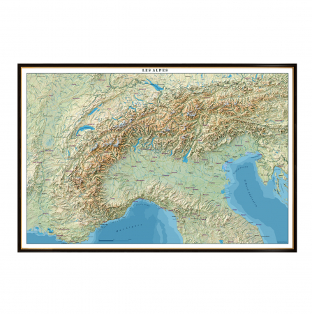
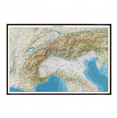
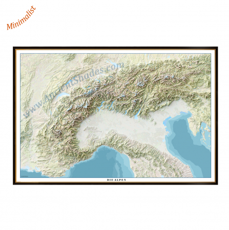
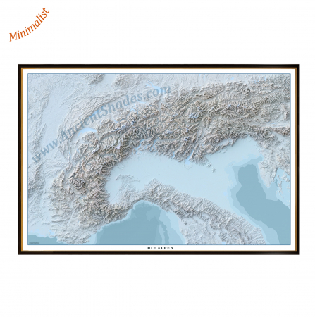

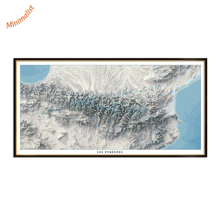
Pyrenees minimalist map, shaded relief map, highly detailed, impeccable precision, "cold" version
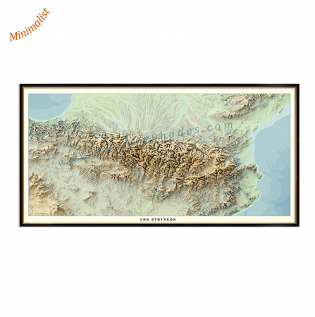
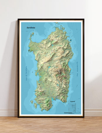
Pyrenees minimalist map, shaded relief map, highly detailed, impeccable precision, "warm" version