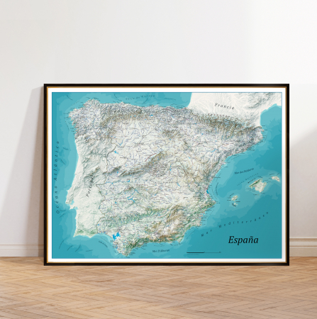
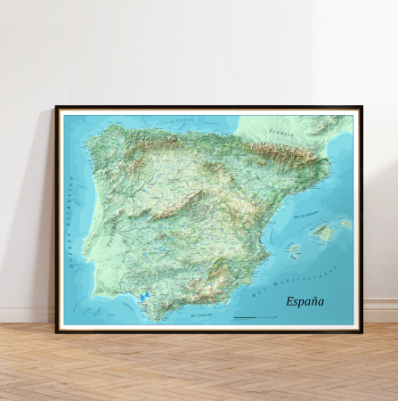
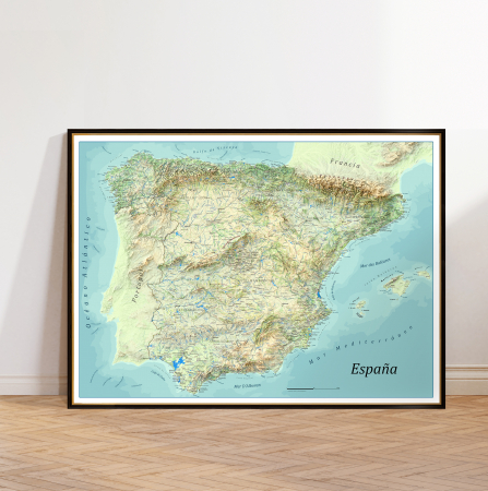
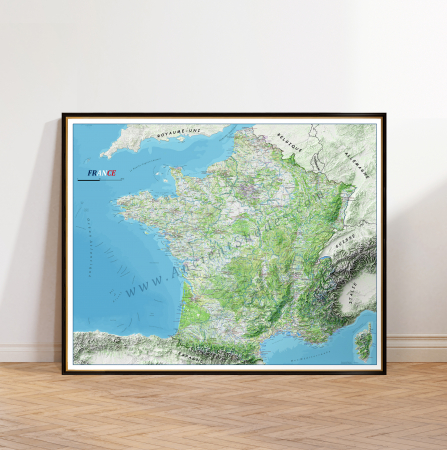
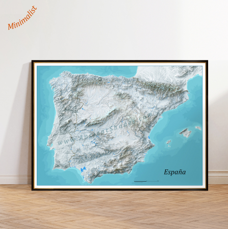
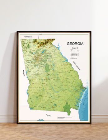
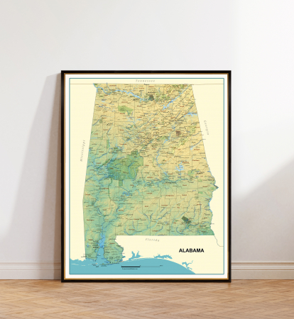
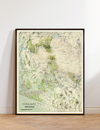
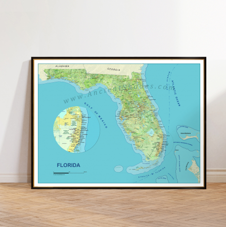
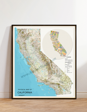
Minimalist map of England and Wales with a shaded relief effect.
Print only, frame not included.
Giclee print, pigment inks.
Print only, frame not included.
Giclee print, pigment inks.
Dimension:
Product Code:
ewc13
- Description
- Characteristics
Map of England & Wales, a bold and artistic shaded relief map, designed for large-format displa.
The map includes all the landforms that can be displayed at this scale: rivers and streams, lakes, wetlands, plains, hills and plateaus, passes, mountain ranges and mountain peaks, bays, ocean canyons. Also, the map shows places (cities, major towns and major villages), major roads, airports, castles, lighthouses, beaches.
The map is made at an exceptional resolution (12,000 x 9.500 pixels), allowing large size printing at impeccable quality.
For the color gradients, symbolizing the depth of the seas and oceans (where applicable), navigational maps were used for maximum accuracy.
The making of the map begins with the digital elevation model (DEM), which is rendered in a special software to achieve the effect of shaded relief.
Then, the layers of information (places, roads, rivers, lakes, land use,etc.) are exported to scale and superimposed on the rendered model of the terrain. The layers of information used come from OSM (Open Street Maps). Additional information, like names of the mountain ranges, peaks, plateaus, hills, plains, bays, capes, ocean canyons, come from various sources on the Internet.
♥ Printed on premium matte paper (230g/sqm);
♥ All prints have an additional 0.25 inches (6 mm) white margin; for example, if you select the size 20 x 30 inches, the overall paper sheet will be 20.5 x 30.5 inches; this additional white margin goes beneath the frame, not visible; so, the necessary frame, in this case should have an opening of 20 x 30 inches;
♥ Pigment inks (Canon Lucia EX) which last a lifetime, no fading;
♥ Giclée fine reproduction, using one of the best fine art printers, Canon imagePROGRAF 4000;
♥ The minimum size available is determined by the readability of the text on the map.
► Shipping is done in a rigid tube;
► The frame is NOT included.
● For any other info please let me know and I will get back to you within 24h.
● On this site, www.AncientShades.com, you can find thematic and modern maps.
● Vintage maps reproductions are available here: www.etsy.com/shop/AncientShades
● On my Facebook page I post promotions and special products: https://www.facebook.com/AncientShades
● Please read the shop policies for important information.
♥ Thank you! ♥
Map Type: Detailed relief map

![England Decorative Relief Map – Large Wall Poster for Travel Lovers [1] England Decorative Relief Map – Large Wall Poster for Travel Lovers [1]](https://gomagcdn.ro/domains3/ancientshades.com/files/product/large/england-and-wales-physical-map-shaded-relief-effect-highly-detailed-minimalist-map-copie-598524.jpg)
![England Decorative Relief Map – Large Wall Poster for Travel Lovers [2] England Decorative Relief Map – Large Wall Poster for Travel Lovers [2]](https://gomagcdn.ro/domains3/ancientshades.com/files/product/large/england-and-wales-physical-map-shaded-relief-effect-highly-detailed-minimalist-map-copie-670532.jpg)
![England Decorative Relief Map – Large Wall Poster for Travel Lovers [3] England Decorative Relief Map – Large Wall Poster for Travel Lovers [3]](https://gomagcdn.ro/domains3/ancientshades.com/files/product/large/england-and-wales-physical-map-shaded-relief-effect-highly-detailed-minimalist-map-copie-466099.jpg)
![England Decorative Relief Map – Large Wall Poster for Travel Lovers [4] England Decorative Relief Map – Large Wall Poster for Travel Lovers [4]](https://gomagcdn.ro/domains3/ancientshades.com/files/product/large/england-and-wales-physical-map-shaded-relief-effect-highly-detailed-minimalist-map-copie-593987.jpg)
![England Decorative Relief Map – Large Wall Poster for Travel Lovers [5] England Decorative Relief Map – Large Wall Poster for Travel Lovers [5]](https://gomagcdn.ro/domains3/ancientshades.com/files/product/large/england-and-wales-physical-map-shaded-relief-effect-highly-detailed-minimalist-map-copie-296699.jpg)

