Print only, frame not included.
Giclee print, pigment inks.
- Description
- Characteristics
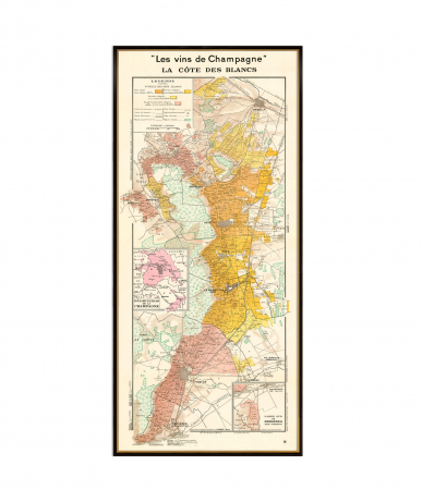
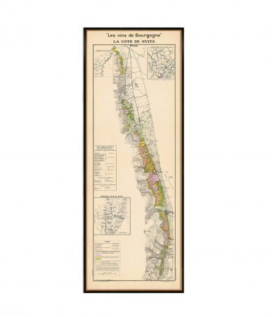
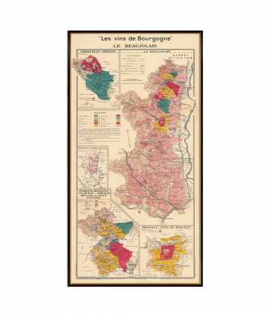
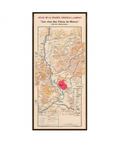
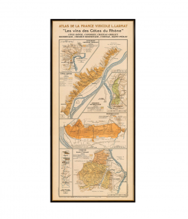
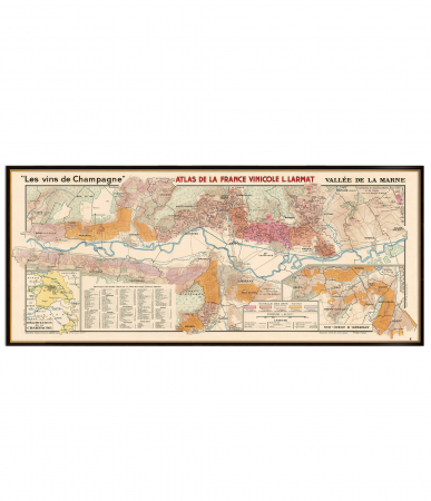
The map "La France Vinicole" by Louis Larmat, created in the 1940s, is a stunning and detailed representation of France's wine regions. This vintage map is part of Larmat's renowned Atlas de la France Vinicole, which meticulously charts the geography, appellations, and vineyard classifications of France's most celebrated wine-producing areas.
The map highlights the diversity of French wine regions, from Bordeaux to Burgundy, Champagne, and the Loire Valley, showcasing the unique terroirs that define each area. The insets around the map provide additional details, such as close-up views of specific regions, historical notes, and explanations of the Appellation d'Origine Contrôlée (AOC) system, which ensures the quality and authenticity of French wines.
This reproduction is perfect for wine enthusiasts, collectors, or anyone looking to add a touch of elegance and history to their space. It serves as both an educational tool and a decorative piece, celebrating the artistry and heritage of French winemaking
♥ Printed on premium matte paper (230g/sqm);
♥ All prints have an additional 0.25 inches (6 mm) white margin; for example, if you select the size 20 x 30 inches, the overall paper sheet will be 20.5 x 30.5 inches; this additional white margin goes beneath the frame, not visible; so, the necessary frame, in this case should have an opening of 20 x 30 inches;
♥ Giclée fine reproduction, using one of the best fine art printers, Canon imagePROGRAF 4000;
♥ The minimum size available is determined by the readability of the text on the map.
► Shipping is done in a rigid tube;
► The frame is NOT included.
● For any other info please let me know and I will get back to you within 24h.
● On this site, www.AncientShades.com, you can find thematic and modern maps.
● Vintage maps reproductions are available here: www.etsy.com/shop/AncientShades
● On my Facebook page I post promotions and special products: https://www.facebook.com/AncientShades
● Please read the shop policies for important information.
♥ Thank you! ♥
Map Type: Vintage wine map

![France vintage wine map [1] France vintage wine map [1]](https://gomagcdn.ro/domains3/ancientshades.com/files/product/large/le-beaujolais-wine-map-a-celebration-of-terroir-and-tradition-copie-122708.jpg)
![France vintage wine map [2] France vintage wine map [2]](https://gomagcdn.ro/domains3/ancientshades.com/files/product/large/le-beaujolais-wine-map-a-celebration-of-terroir-and-tradition-copie-310927.jpg)
![France vintage wine map [3] France vintage wine map [3]](https://gomagcdn.ro/domains3/ancientshades.com/files/product/large/le-beaujolais-wine-map-a-celebration-of-terroir-and-tradition-copie-524881.jpg)
![France vintage wine map [4] France vintage wine map [4]](https://gomagcdn.ro/domains3/ancientshades.com/files/product/large/le-beaujolais-wine-map-a-celebration-of-terroir-and-tradition-copie-593552.jpg)
![France vintage wine map [5] France vintage wine map [5]](https://gomagcdn.ro/domains3/ancientshades.com/files/product/large/le-beaujolais-wine-map-a-celebration-of-terroir-and-tradition-copie-360230.jpg)
