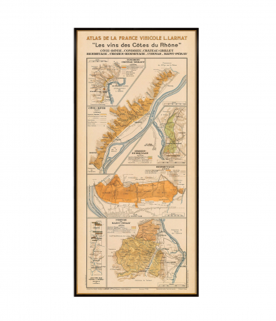
Print only, frame not included.
Giclee print, pigment inks.
- Description
- Characteristics
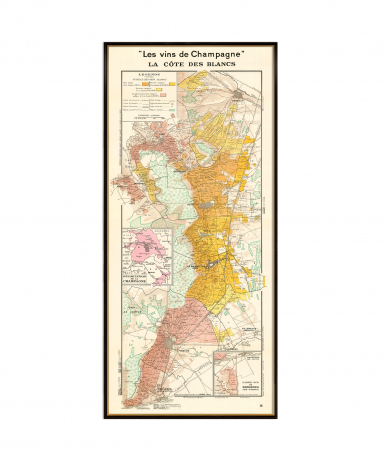
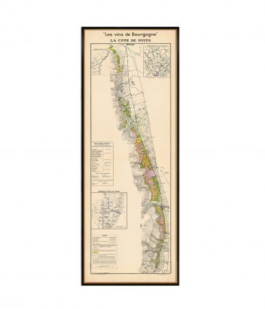
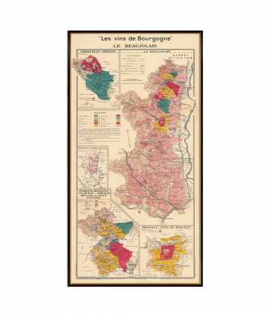
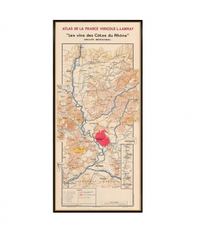
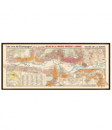
The map "Les Vins de Champagne - Vallée de la Marne et l'Aisne" by Louis Larmat is a detailed depiction of the Champagne vineyards in the Marne Valley and Aisne regions of France. Created in 1944, it highlights the geography of the area, including villages, roads, railroads, and wooded areas. The map uses color shading to represent the quality ratings of vineyards, based on the échelle des crus system, which ranks grape quality on a percentage scale. This system was developed to resolve tensions between vine-growers and Champagne producers, ensuring fair pricing for grapes.
♥ Printed on premium matte paper (230g/sqm);
♥ All prints have an additional 0.25 inches (6 mm) white margin; for example, if you select the size 20 x 30 inches, the overall paper sheet will be 20.5 x 30.5 inches; this additional white margin goes beneath the frame, not visible; so, the necessary frame, in this case should have an opening of 20 x 30 inches;
♥ Giclée fine reproduction, using one of the best fine art printers, Canon imagePROGRAF 4000;
♥ The minimum size available is determined by the readability of the text on the map.
► Shipping is done in a rigid tube;
► The frame is NOT included.
● For any other info please let me know and I will get back to you within 24h.
● On this site, www.AncientShades.com, you can find thematic and modern maps.
● Vintage maps reproductions are available here: www.etsy.com/shop/AncientShades
● On my Facebook page I post promotions and special products: https://www.facebook.com/AncientShades
● Please read the shop policies for important information.
♥ Thank you! ♥
Map Type: Vintage wine map

![Vallée de la Marne et l'Aisne wine map [1] Vallée de la Marne et l'Aisne wine map [1]](https://gomagcdn.ro/domains3/ancientshades.com/files/product/large/les-vins-des-cotes-du-rhone-septentrionale-northern-rhone-s-prestigious-appellations-map-copie-607757.jpg)
![Vallée de la Marne et l'Aisne wine map [2] Vallée de la Marne et l'Aisne wine map [2]](https://gomagcdn.ro/domains3/ancientshades.com/files/product/large/les-vins-des-cotes-du-rhone-septentrionale-northern-rhone-s-prestigious-appellations-map-copie-780386.jpg)
![Vallée de la Marne et l'Aisne wine map [3] Vallée de la Marne et l'Aisne wine map [3]](https://gomagcdn.ro/domains3/ancientshades.com/files/product/large/les-vins-des-cotes-du-rhone-septentrionale-northern-rhone-s-prestigious-appellations-map-copie-419613.jpg)
