Print only, frame not included.
Giclee print, pigment inks.
- Description
- Characteristics
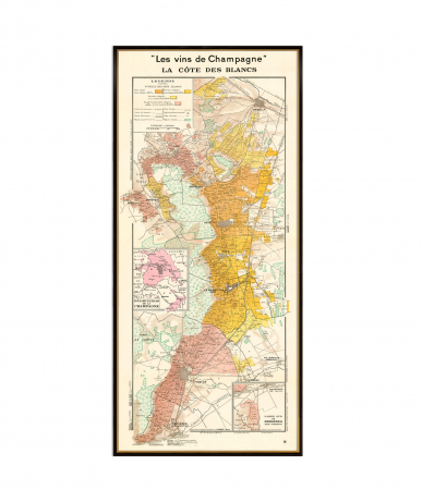
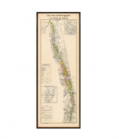
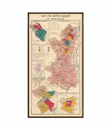
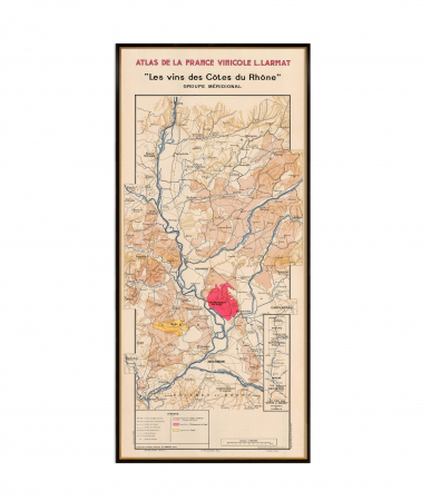
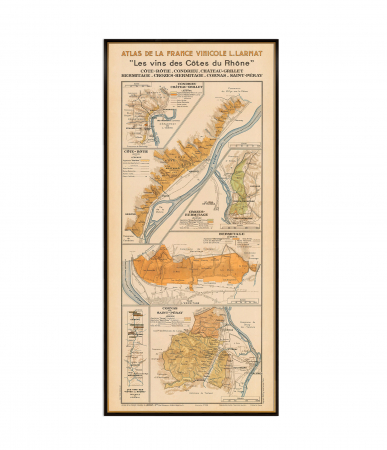
The map Les Vins de Champagne – Vallée de la Marne by Louis Larmat provides a fascinating visual representation of one of Champagne's most celebrated regions. It captures the geographical layout and vineyards that thrive along the Marne River, highlighting the unique characteristics of this iconic wine-producing area. The map presents detailed insights into the region's distinctive crus and the surrounding landscape, making it an invaluable reference for enthusiasts and professionals passionate about Champagne's heritage
♥ Printed on premium matte paper (230g/sqm);
♥ All prints have an additional 0.25 inches (6 mm) white margin; for example, if you select the size 20 x 30 inches, the overall paper sheet will be 20.5 x 30.5 inches; this additional white margin goes beneath the frame, not visible; so, the necessary frame, in this case should have an opening of 20 x 30 inches;
♥ Giclée fine reproduction, using one of the best fine art printers, Canon imagePROGRAF 4000;
♥ The minimum size available is determined by the readability of the text on the map.
► Shipping is done in a rigid tube;
► The frame is NOT included.
● For any other info please let me know and I will get back to you within 24h.
● On this site, www.AncientShades.com, you can find thematic and modern maps.
● Vintage maps reproductions are available here: www.etsy.com/shop/AncientShades
● On my Facebook page I post promotions and special products: https://www.facebook.com/AncientShades
● Please read the shop policies for important information.
♥ Thank you! ♥
Map Type: Vintage wine map

![Vallée de la Marne wine map. [1] Vallée de la Marne wine map. [1]](https://gomagcdn.ro/domains3/ancientshades.com/files/product/large/le-beaujolais-wine-map-a-celebration-of-terroir-and-tradition-copie-272352.jpg)
![Vallée de la Marne wine map. [2] Vallée de la Marne wine map. [2]](https://gomagcdn.ro/domains3/ancientshades.com/files/product/large/le-beaujolais-wine-map-a-celebration-of-terroir-and-tradition-copie-325585.jpg)
![Vallée de la Marne wine map. [3] Vallée de la Marne wine map. [3]](https://gomagcdn.ro/domains3/ancientshades.com/files/product/large/le-beaujolais-wine-map-a-celebration-of-terroir-and-tradition-copie-509193.jpg)
![Vallée de la Marne wine map. [4] Vallée de la Marne wine map. [4]](https://gomagcdn.ro/domains3/ancientshades.com/files/product/large/le-beaujolais-wine-map-a-celebration-of-terroir-and-tradition-copie-282870.jpg)
