![Champagne Wine Map [1]](https://gomagcdn.ro/domains3/ancientshades.com/files/product/original/portugal-wine-map-regioes-vinicolas-de-portugal-copie-223327.png "Champagne Wine Map [1]")
![Champagne Wine Map [2]](https://gomagcdn.ro/domains3/ancientshades.com/files/product/original/portugal-wine-map-regioes-vinicolas-de-portugal-copie-700485.jpg "Champagne Wine Map [2]")
![Champagne Wine Map [3]](https://gomagcdn.ro/domains3/ancientshades.com/files/product/original/portugal-wine-map-regioes-vinicolas-de-portugal-copie-004705.jpg "Champagne Wine Map [3]")
Print only, frame not included.
Giclee print, pigment inks.
- Description
- Characteristics
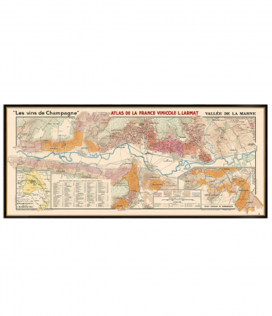
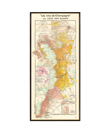
This detailed wine map of Champagne traces the geography of one of France’s most celebrated wine regions, from Reims and Épernay to the chalk slopes of the Côte des Blancs, the Pinot Noir villages of the Montagne de Reims, the meandering Vallée de la Marne and the southern vineyards of the Côte des Bar.
The map highlights the principal Champagne vineyard areas, including Montagne de Reims, Vallée de la Marne, Côte des Blancs, Côte de Sézanne and Côte des Bar, together with smaller sectors such as Montgueux, Vitryat, Val du Petit Morin, Massif de Saint-Thierry and Rosé des Riceys.
It also includes Grand Cru and Premier Cru villages, key towns, rivers, departmental boundaries and a compact guide to the main Champagne grape varieties: Pinot Noir, Chardonnay and Meunier.
Designed in a warm vintage-inspired cartographic style, this print works both as a decorative wall map and as an educational reference for Champagne lovers, sommeliers, WSET students, wine educators, collectors, restaurants, wine bars and tasting rooms.
The map is made at an exceptional resolution (11.000 x 17.000 pixels), allowing large size printing at impeccable quality.
♥ Printed on premium matte paper (230g/sqm);
♥ All prints have an additional 0.25 inches (6 mm) white margin; for example, if you select the size 20 x 30 inches, the overall paper sheet will be 20.5 x 30.5 inches; this additional white margin goes beneath the frame, not visible; so, the necessary frame, in this case should have an opening of 20 x 30 inches;
♥ Pigment inks (Canon Lucia EX) which last a lifetime, no fading;
♥ Giclée fine reproduction, using one of the best fine art printers, Canon imagePROGRAF 4000;
♥ The minimum size available is determined by the readability of the text on the map.
► Shipping is done in a rigid tube;
► The frame is NOT included.
● For any other info please let me know and I will get back to you within 24h.
● On this site, www.AncientShades.com, you can find thematic and modern maps.
● Vintage maps reproductions are available here: www.etsy.com/shop/AncientShades
● On my Facebook page I post promotions and special products: https://www.facebook.com/AncientShades
● Please read the shop policies for important information.
♥ Thank you! ♥

Map Type: Modern wine map
Recommendations
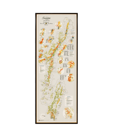
Burgundy Vineyards Map – Côte de Beaune, Côte de Nuits, Côte Chalonnaise, Mâconnais
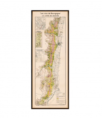
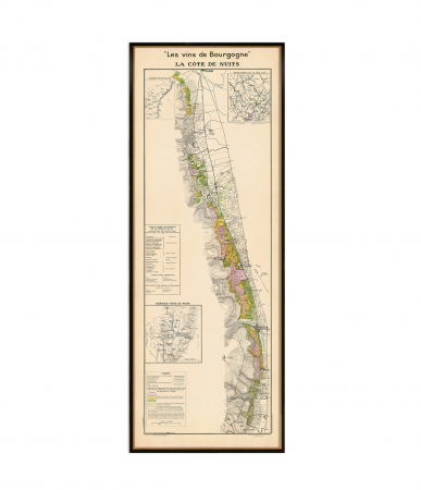
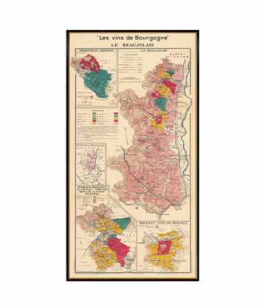
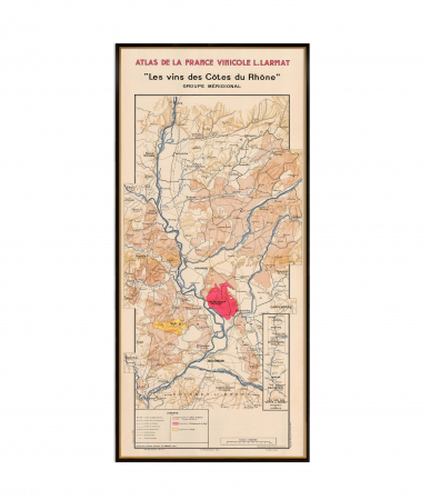
Les Vins des Côtes du Rhône Méridionale , southern Rhône's prestigious appellations map